Urban Geospatial Intelligence
Skewed From the South: How Satellite Geometry Is Failing Australia's Most Critical Industries
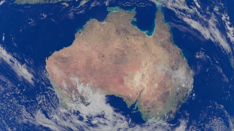
Australia's geographic position in the Southern Hemisphere places it at a measurable disadvantage when it comes to GPS satellite coverage, producing accuracy gaps that ripple across autonomous transport, emergency response, and large-scale construction. Understanding why this structural inequality exists — and what the geospatial sector is doing about it — has never been more urgent.