Beyond the City Limits: Australia's Rural Geospatial Blind Spot and the Cost of Being Off the Map
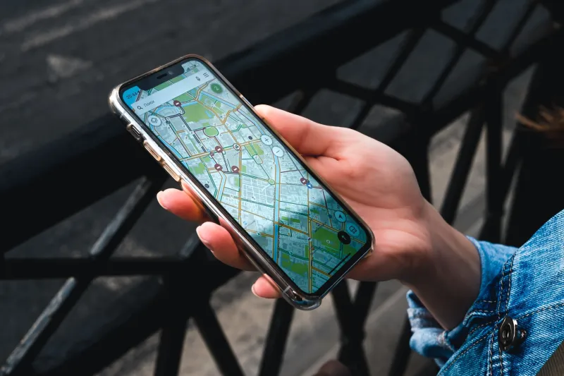
Open a mapping application in Melbourne's CBD and you can navigate to within a few metres of your destination, view the interior layout of major buildings, and access real-time data on traffic, transit, and street-level imagery updated within the past twelve months. Drive three hours north into central Victoria, or further still into the pastoral zones of Queensland or the Northern Territory, and that same application begins to fail you in ways that are subtle at first, then increasingly consequential.
Roads that no longer exist remain on the map. New tracks cut by mining or agricultural operations are absent. Elevation data is coarse enough to be misleading. And the GPS signal itself — while technically available — carries positional errors that, in environments where a few metres can mean the difference between a safe crossing and a flooded one, matter enormously.
This is Australia's geospatial divide: a structural inequity in the quality, currency, and resolution of location data that broadly tracks the nation's longstanding urban-rural split. It is a problem that receives far less attention than the digital divide in broadband access, yet its consequences are in many respects just as serious.
What the Data Actually Shows
Geospatial data quality is not a single variable. It encompasses signal accuracy, mapping resolution, data currency, and the availability of correction services that allow consumer-grade GPS receivers to achieve the precision required for professional applications.
In Australia's capital cities and major regional centres, all of these factors are relatively well served. The country's Continuously Operating Reference Station (CORS) network — which broadcasts correction signals that can improve GPS accuracy from several metres down to centimetres — is densely concentrated along the eastern seaboard and in major urban areas. Beyond those corridors, coverage becomes patchy.
Monash researchers examining the distribution of CORS infrastructure have found that large portions of inland New South Wales, South Australia, and Western Australia fall outside the effective range of any correction station. For farmers attempting to use auto-steer machinery, surveyors establishing infrastructure corridors, or emergency services trying to coordinate a response across unmarked terrain, this gap has direct operational consequences.
Mapping currency presents a separate but related problem. National datasets maintained by Geoscience Australia and the various state land information agencies are updated on cycles that often stretch to five or ten years in low-population areas. In regions experiencing rapid change — whether from agricultural expansion, resource extraction, or climate-driven landscape transformation — this lag means that the official map of a place can bear only a passing resemblance to the actual ground.
The Economic Toll
The costs of poor geospatial data in rural Australia are diffuse and rarely attributed to their actual cause, which makes them easy to overlook in policy discussions. But they are real and they accumulate.
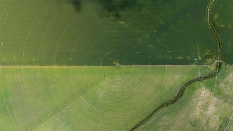
For the agricultural sector, which increasingly depends on precision location technology for everything from variable-rate fertiliser application to automated harvesting, degraded GPS accuracy translates directly into inefficiency and waste. A tractor running on uncorrected GPS in a region without CORS coverage may exhibit positional errors of two to five metres — sufficient to cause overlapping passes, missed rows, and imprecise chemical application across thousands of hectares.
The infrastructure sector faces analogous challenges. Road and utility projects in remote areas routinely encounter surveying discrepancies that arise from the absence of reliable reference data. These discrepancies generate delays, rework, and in some cases safety incidents. The cost per kilometre of resolving such issues in the field is substantially higher than the cost of maintaining accurate baseline spatial data in the first place.
Small businesses operating in rural and regional areas — from transport operators to tourism providers — are also affected in less visible ways. Navigation errors, inaccurate address geocoding, and missing road data create friction that urban competitors simply do not experience. For a freight operator in western Queensland, a routing error that adds an hour to a delivery is not a minor inconvenience; it is a meaningful cost in fuel, time, and vehicle wear.
Emergency Services: Where the Gap Becomes Critical
Perhaps the most acute manifestation of the geospatial divide concerns emergency response. In rural and remote Australia, where distances are vast and response times inherently long, the accuracy of location data can determine whether a person in distress is found in time.
Ambulance and fire services operating beyond major population centres frequently report that the coordinates provided by mobile emergency calls — which rely on handset GPS and network triangulation — are insufficiently precise to guide rapid deployment. In areas with poor CORS coverage and low base station density, positional uncertainty can extend to several hundred metres, a distance that is operationally significant in a search and rescue context.
Volunteer fire brigades, which shoulder a disproportionate share of emergency response in rural areas, are particularly exposed. Many operate with mapping systems and data subscriptions that have not been updated to reflect current road conditions, property boundaries, or water source locations. During a fast-moving bushfire, navigating with outdated or inaccurate spatial data is not merely inconvenient — it is dangerous.
Monash-Led Initiatives: Building the Infrastructure of Equity
Researchers at Monash University's geospatial science programmes have been examining the structural dimensions of the rural data gap and exploring practical pathways to address it. Several initiatives are currently underway.
One strand of research focuses on low-cost CORS deployment — investigating whether a distributed network of inexpensive, solar-powered reference stations could extend high-accuracy GPS correction services to underserved regions at a fraction of the cost of conventional infrastructure. Preliminary modelling suggests that strategic placement of around 200 additional stations could dramatically improve coverage across inland Australia.
A second initiative is examining the potential of open-source, community-contributed mapping to supplement official datasets in areas where government update cycles are too slow to reflect current conditions. Drawing on frameworks developed by the OpenStreetMap community, this work is exploring how rural residents, local governments, and industry operators can contribute verified spatial data through standardised protocols — creating a living map that reflects conditions on the ground rather than a decade-old survey.
A third area of focus concerns the integration of satellite constellations beyond the American GPS system. Australia has access to signals from the European Galileo, Russian GLONASS, Chinese BeiDou, and Japanese QZSS systems — the latter specifically designed to improve coverage in the Asia-Pacific region. Research is examining how multi-constellation receivers, combined with better correction infrastructure, could deliver significant accuracy improvements in rural areas without requiring wholesale investment in new ground stations.
A Question of Equity
Underlying all of these technical considerations is a question of equity. Geospatial data is increasingly foundational infrastructure — as essential to the functioning of a modern economy as roads or telecommunications. A society that allows the quality of that infrastructure to degrade systematically in its least populous regions is making a choice, whether consciously or not, about whose activities and whose safety it values.
Australia has confronted versions of this question before, in the contexts of telecommunications, healthcare, and education. The geospatial domain deserves the same scrutiny. The tools to close the gap exist; what remains is the political and institutional will to deploy them equitably.
For Monash GPS and the researchers contributing to this field, the work is both technical and civic — a reminder that the most important coordinates are not always the ones that are easiest to measure.