Coordinates Without Context: Reconciling GPS Precision With Indigenous Geographic Sovereignty
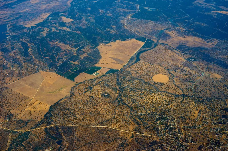
A coordinate is, by design, a reduction. It takes the full complexity of a place — its history, its ecology, its spiritual significance, its relationships — and compresses it into two numbers. For the purposes of navigation or infrastructure planning, that compression is often sufficient. But for the more than 250 distinct language groups whose ancestors named and knew the Australian continent long before the first European survey peg was driven into the ground, a coordinate stripped of cultural context is not merely incomplete. It can be actively misleading.
This is the quiet tension at the heart of contemporary geospatial practice in Australia, and it is one that researchers at Monash University are working to address with increasing urgency.
When a Waypoint Misses the Point
Consider the Wimmera region of western Victoria. GPS databases and topographic datasets record dozens of named features across this landscape — creeks, hills, and plains catalogued under anglicised or entirely invented designations assigned during the nineteenth century. Beneath those layers, however, Wergaia and Wotjobaluk peoples hold place names that encode information no coordinate can carry: which waterholes hold water through drought years, where particular plant medicines grow, which areas carry ceremonial restrictions on access or disclosure.
When emergency services, land managers, or infrastructure developers rely solely on GPS waypoints and official gazetteer names, they are navigating with an incomplete instrument. In at least several documented cases across regional Australia, this has led to survey work proceeding in ecologically or culturally sensitive areas where traditional custodians held knowledge — knowledge that was never consulted — that would have altered decisions about access routes or site selection.
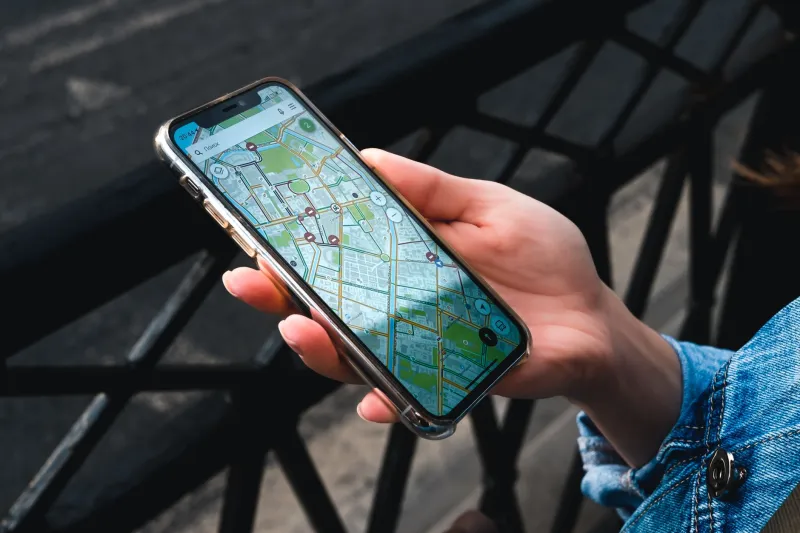
The problem is not that GPS technology is inaccurate. In technical terms, Australia's positioning infrastructure is among the most precise in the world. The problem is that accuracy and comprehensiveness are different qualities, and the geospatial sector has long conflated them.
The Architecture of Erasure
Australia's national place naming conventions are administered at the state and territory level, with each jurisdiction maintaining its own geographical names register. While there has been meaningful progress in recent decades — dual naming policies now exist in Victoria, New South Wales, and South Australia, among others — the underlying digital infrastructure that most practitioners actually use remains heavily weighted towards anglicised nomenclature.
This is not simply a matter of historical record. Spatial datasets are dynamic. They inform the routing algorithms that direct emergency vehicles, the environmental impact assessments that precede mining approvals, and the land management systems used by national parks. When Indigenous place names are absent from these datasets, the communities who hold those names are rendered spatially invisible in the systems that govern their country.
Dr Juanita Sherwood, whose work on Indigenous data sovereignty has intersected with geospatial research at several Australian universities, has described this phenomenon as a form of "cartographic dispossession" — the ongoing removal of Indigenous peoples from their own landscapes through the administrative machinery of modern mapping.
Dual Naming as a Technical and Ethical Challenge
Monash University researchers working at the intersection of geospatial science and Indigenous studies have been exploring what a genuinely equitable dual-naming system might look like — not merely as a symbolic gesture, but as a functioning technical architecture.
The challenge is considerable. A place name in a language such as Warlpiri or Yolŋu Matha is not simply a string of characters that can be appended to a coordinate record. It may carry tonal or phonemic properties that standard character encoding cannot represent faithfully. It may refer to a territory rather than a point — a concept that sits awkwardly within database schemas designed around discrete geometry. And critically, the custodianship of that name may itself be subject to protocols that determine who is permitted to access, reproduce, or share it.
This last dimension is particularly significant. Indigenous data sovereignty — the principle that Indigenous communities should control data about their peoples, territories, and knowledges — is now formally recognised in frameworks including the AIATSIS Code of Ethics for Aboriginal and Torres Strait Islander Research. Any geospatial system that incorporates Indigenous place names must therefore be designed not merely to store those names, but to manage access to them in ways that reflect the governance structures of the communities who hold them.
Researchers have been prototyping layered database architectures in which place name records carry embedded permission metadata — specifying, for instance, that a particular name may be visible to emergency services but not to commercial developers, or that certain names require community approval before they can be reproduced in published maps. This approach draws on principles from information security as much as from geography, applying access control logic to cultural data in ways that have not previously been attempted at scale within Australian spatial infrastructure.
Field Work and Community Partnership
Theoretical frameworks, however elegant, require ground-truthing. Collaborative fieldwork conducted in partnership with Gunditjmara communities in south-western Victoria has provided an early test of these ideas. The Gunditjmara hold a landscape of extraordinary cultural density — the Budj Bim Cultural Landscape, now a UNESCO World Heritage Site, contains aquaculture systems dating back more than six thousand years — and their geographic knowledge is correspondingly rich and precise.
Working alongside Gunditjmara knowledge holders, the research team has been developing protocols for the co-creation of spatial records that integrate GPS-derived coordinates with Gunditjmara place names and associated ecological and cultural annotations. The resulting datasets are held under community governance, with the research team acting as technical facilitators rather than data custodians.
What this fieldwork has revealed, among other things, is that Indigenous place names frequently encode environmental information of direct practical value. Several Gunditjmara names for water features, for instance, describe hydrological conditions — the seasonality of flow, the quality of water in dry periods — that are not captured in any official dataset. This is not merely cultural heritage. It is actionable environmental intelligence.
Towards a More Complete Map
The work underway at Monash does not seek to replace GPS technology or to challenge the utility of coordinate-based spatial systems. Precision positioning remains essential to virtually every domain of contemporary life, from agricultural automation to urban planning to disaster response. The argument, rather, is that coordinates and place names are complementary rather than competing ways of knowing a landscape — and that a geospatial infrastructure capable of holding both will be more accurate, more equitable, and ultimately more useful than one that holds only one.
Australia is, in this respect, an unusual laboratory. No other nation on earth has a living Indigenous geographic tradition of comparable depth and continuity operating alongside one of the world's most sophisticated positioning infrastructures. The friction between these two systems is real, but so is the potential for synthesis.
Getting there will require not only technical innovation but genuine institutional humility — a willingness on the part of the geospatial sector to acknowledge that the most precise coordinate in the world still cannot tell you what a place means. That knowledge belongs to the people who have always known it.