Precision at the Doorstep: Why Australian Retailers Are Chasing Centimetre-Level GPS in the Final Mile
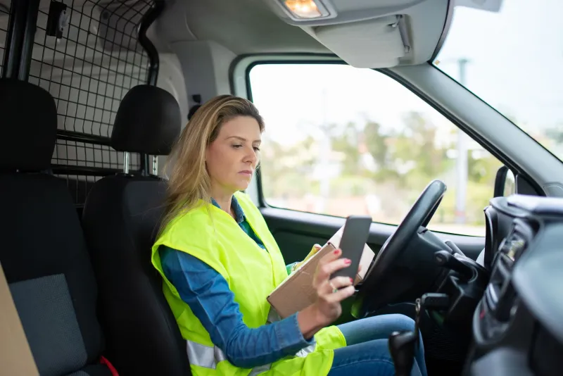
For most Australians, a missed delivery is a minor inconvenience — a card in the letterbox, a detour to the post office, perhaps a frustrated online review. For the logistics operators behind those parcels, however, it represents something far more costly: wasted fuel, redelivery overheads, customer churn, and, increasingly, a competitive disadvantage in a sector where margins are already razor thin.
The response from parts of the Australian retail and logistics industry has been to look upward — to satellite constellations and ground-based correction networks — in search of a technological solution. Centimetre-level GPS positioning, once the exclusive domain of precision agriculture and civil engineering, is now being trialled and, in some cases, deployed across urban delivery fleets. The premise is straightforward: if a vehicle or autonomous delivery device knows exactly where it is, down to a few centimetres, it can navigate to the correct entrance, avoid misidentified addresses, and eliminate the ambiguity that causes so many final-mile failures.
But the premise, compelling as it sounds, is not without its critics.
The Scale of the Problem
Australia's e-commerce sector has grown substantially over the past five years, accelerated in part by pandemic-era shifts in consumer behaviour that have proven largely permanent. With that growth has come an uncomfortable truth: the country's address infrastructure was not designed for the delivery volumes it now handles.
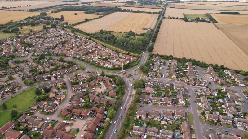
Apartment complexes with shared street numbers, industrial estates with unmarked entry points, regional properties with inconsistent cadastral data — these are not edge cases. They are everyday realities for drivers navigating metropolitan Melbourne, outer suburban Brisbane, or the commercial fringes of Perth. Industry estimates suggest that somewhere between eight and fifteen per cent of all residential deliveries in Australia's major cities require a second or third attempt, each one adding cost to an already compressed supply chain.
For logistics operators, the arithmetic is unforgiving. At scale — tens of thousands of deliveries per day across a major courier network — even a modest reduction in failed delivery rates translates to millions of dollars annually. That calculation is precisely what is drawing attention to high-accuracy positioning.
What Centimetre Accuracy Actually Means in Practice
Conventional GPS, as used by standard navigation applications, delivers positional accuracy in the range of three to five metres under favourable conditions. In dense urban environments, where signal multipath from buildings degrades performance, that figure can deteriorate considerably. For a delivery driver navigating a suburban street, five metres of uncertainty is generally manageable. For an autonomous delivery robot attempting to identify the correct unit entrance in a multi-storey apartment block, it is not.
Real-Time Kinematic (RTK) positioning and its network-based equivalent, Network RTK, use correction data broadcast from fixed ground reference stations to achieve accuracies in the range of one to three centimetres. These systems have been commercially available for some time, but their application to last-mile logistics represents a relatively recent development — one driven by falling hardware costs, expanding correction network coverage, and the emergence of autonomous delivery platforms that require machine-grade spatial certainty.
Several Australian logistics technology providers are now integrating RTK-capable receivers into delivery vehicles and robotic platforms, pairing them with high-resolution mapping data to create what amounts to a centimetre-accurate digital twin of the delivery environment. In theory, such a system can distinguish between adjacent driveways, identify the correct side entrance to a commercial premises, and even account for temporary obstructions that would confuse a standard navigation system.
The Operators' Perspective
Logistics operators who have participated in high-accuracy positioning trials report cautiously positive outcomes, though enthusiasm is tempered by practical complexity. The technology performs well in open suburban environments where correction signals are strong and mapping data is current. Performance degrades, however, in precisely the locations where delivery failures are most common: underground car parks, enclosed loading docks, and dense CBD corridors where satellite geometry is compromised.
There is also the question of data currency. Centimetre-accurate positioning is only as useful as the map it references. Australian cities are in a state of continuous physical change — new apartment towers, reconfigured retail precincts, subdivided lots — and maintaining map data at the resolution required to take full advantage of RTK positioning is itself a significant and ongoing cost.
Some operators have noted that the most impactful improvements to their failed delivery rates have come not from positioning technology alone, but from the combination of accurate positioning with improved address verification at the point of order — a reminder that geospatial precision is most effective when the underlying data it is navigating toward is itself reliable.
The 'Good Enough' Counterargument
Not everyone in the industry is persuaded that centimetre accuracy is the right investment for last-mile logistics. A number of logistics analysts and geospatial researchers argue that the majority of delivery failures in Australia are not caused by positioning error at all. They point instead to inadequate address data, driver workflow issues, and the fundamental challenge of delivering to properties that were never designed to receive high-frequency parcel traffic.
From this perspective, the push toward ultra-precise positioning risks directing capital toward a technically impressive solution that does not address the root cause of the problem. A delivery vehicle that knows its location to within two centimetres is still unable to complete a delivery if the recipient's unit number is incorrectly recorded, if access to the building requires a code that was not provided, or if the driver's route optimisation software has scheduled an impossible number of stops.
The counterargument from positioning advocates is that centimetre accuracy enables capabilities that lower-precision systems simply cannot support — autonomous last-mile delivery, in particular, requires spatial certainty that standard GPS cannot provide. As robotic delivery platforms move from trial to commercial deployment in Australian cities, the argument goes, the investment in high-accuracy infrastructure will prove its value.
A Question of Proportionality
What the debate ultimately surfaces is a question of proportionality — not whether high-accuracy positioning has value in last-mile logistics, but whether its deployment should precede or follow the resolution of more fundamental data quality and operational workflow problems.
Monash University researchers working at the intersection of geospatial science and urban logistics have observed that the most effective positioning deployments tend to be those that are implemented as part of a broader systems improvement, rather than as a standalone technological intervention. Precision is most powerful when the environment it operates within — the address database, the building access data, the route optimisation logic — is itself fit for purpose.
For Australian retailers navigating the cost pressures of last-mile delivery, that framing may be the most useful one available. Centimetre-level GPS is not a substitute for good data governance or operational discipline. It is, however, a genuinely transformative capability when deployed within a system that is already functioning well — and as autonomous delivery platforms mature, its relevance to urban logistics will only increase.
The final metre of a delivery journey has always been the hardest. Whether satellite geometry can make it easier remains, for now, an open and actively contested question.