Fractured Chains: The Positioning Deficit Quietly Draining Australia's Logistics Sector
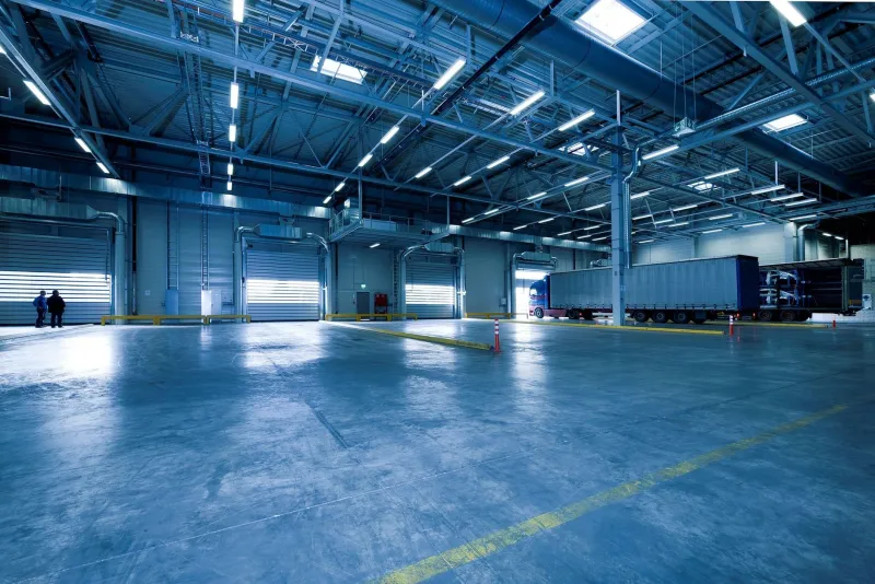
Australia moves more freight per capita than almost any comparable economy. The distances are vast, the infrastructure is stretched, and the margin for error is increasingly thin. Yet at the heart of the nation's logistics machinery lies a vulnerability that rarely features in boardroom conversations: the positioning gap. Standard GPS, accurate to roughly three to five metres under open-sky conditions, is simply not precise enough for the demands modern logistics now places upon it — and the consequences are measurable in billions of dollars each year.
This is not a theoretical concern. From automated warehouse systems in outer Melbourne to last-mile delivery networks threading through Sydney's dense inner suburbs, fractional positioning errors are cascading into real operational losses. Understanding why requires a closer look at where the geospatial layer of logistics actually breaks down.
When Three Metres Is Three Too Many
For most everyday navigation purposes, a three-to-five-metre positional error is imperceptible. A driver rounding a suburban corner scarcely notices. But logistics operations are not everyday navigation. They are, increasingly, spatially dependent systems in which precise coordinates govern physical machinery.
Consider automated guided vehicles (AGVs) operating inside large fulfilment centres. These systems rely on positioning data — often fused from multiple sources — to navigate aisles, dock at precise loading points, and avoid collisions. When the geospatial reference layer carries even a sub-metre error, the downstream effects multiply: misaligned pallet placements, inventory reconciliation failures, and in some cases, mechanical stoppages that idle entire warehouse floors.
Outdoor environments present a different but equally damaging set of challenges. Delivery vehicles navigating high-density urban precincts contend with signal multipath — the distortion caused when GPS signals bounce off buildings before reaching the receiver. In areas like Melbourne's CBD, Sydney's inner west, or Brisbane's rapidly densifying middle-ring suburbs, positional drift can exceed ten metres. A vehicle that the system believes is at a loading dock may in fact be half a block away. At scale, across fleets of hundreds of vehicles, those navigational miscalculations translate into wasted fuel, missed delivery windows, and customer service failures.
The Compounding Effect Across the Supply Chain
What makes positioning errors particularly damaging in logistics is their tendency to compound. A geospatial inaccuracy at one node in the supply chain does not stay contained — it propagates.
Take a scenario familiar to many Australian third-party logistics operators: a container arrives at a port facility, its GPS-tagged position is logged with a margin of error, that coordinate is passed to a warehouse management system, which in turn dispatches an automated retrieval instruction based on the recorded location. Each handoff in that sequence can introduce or amplify the original error. By the time a human operator intervenes — if one does — the discrepancy between where something is supposed to be and where it actually is may have triggered a cascade of incorrect system states.
Industry analysts have estimated that positioning-related inefficiencies cost Australian logistics operators somewhere between one and three per cent of total operational expenditure annually. Across a sector that generates upwards of $130 billion in revenue, even the lower bound of that estimate represents a substantial and largely avoidable loss.
The Last-Mile Problem in Granular Detail
No segment of the logistics chain feels the positioning deficit more acutely than last-mile delivery. It is the most labour-intensive, fuel-intensive, and time-sensitive portion of the journey — and it is where GPS accuracy is most compromised.
Australian cities present a particular challenge. Unlike the grid-like street layouts common in parts of North America, many Australian suburban environments feature curved roads, complex apartment complexes with shared access points, and significant variation in address geocoding quality. The national geocoding infrastructure, while improving, still contains inconsistencies that mean the coordinate assigned to a delivery address may not correspond to the actual accessible entry point.
For a human driver, these discrepancies are manageable through local knowledge and visual cues. For autonomous delivery systems — whether ground-based robots or drone platforms, both of which are being trialled by Australian operators including Australia Post and several private logistics firms — they are a fundamental barrier. A drone that cannot resolve its landing zone to within half a metre is a drone that cannot safely operate in a residential environment.
Hybrid Positioning: The Emerging Response
The logistics sector's answer to the positioning gap is not to wait for satellite systems to improve — though Australia's participation in international GNSS augmentation programmes does offer incremental gains — but to layer additional technologies over the GPS foundation.
Hybrid positioning architectures are gaining traction among forward-looking Australian operators. These systems typically combine standard GNSS with one or more complementary technologies: real-time kinematic (RTK) corrections delivered via cellular networks, ultra-wideband (UWB) ranging for indoor environments, LiDAR-based simultaneous localisation and mapping (SLAM), and inertial measurement units (IMUs) that maintain positional continuity when satellite signals are interrupted.
Several large Australian distribution centres have begun deploying UWB anchor networks across their facilities, achieving sub-30-centimetre indoor positioning for AGV fleets. The capital expenditure is not trivial, but operators report that the reduction in picking errors and mechanical downtime produces a return on investment within two to three years.
For outdoor last-mile applications, network-RTK services — where correction data is streamed to a vehicle's GNSS receiver via mobile data, enabling centimetre-level accuracy in real time — are being integrated into fleet management platforms. Australia's Geoscience Australia, through its ongoing augmentation of the national GNSS infrastructure, is expanding the coverage and reliability of these correction services, particularly in peri-urban zones where logistics activity is growing fastest.
A Structural Opportunity
The positioning deficit in Australian logistics is not simply a technical problem awaiting a technical solution. It is a structural opportunity — one that rewards operators willing to invest in geospatial sophistication before their competitors do.
The firms that treat location data as a precision instrument rather than a rough guide will find themselves with measurable advantages: leaner inventory management, more reliable delivery windows, lower fuel and labour costs, and the operational foundation necessary to deploy the next generation of automated logistics technology responsibly.
For researchers and policymakers, the message is equally clear. Investment in national positioning infrastructure — augmentation networks, geocoding standards, and open-access correction services — is not peripheral to economic productivity. It is, in a logistics-dependent economy like Australia's, foundational to it.
The satellite signals are already overhead. The question is whether the systems receiving them are precise enough to do the work being asked of them. Increasingly, the answer is: not yet — but the tools to change that are within reach.