Pinpointed Risk: How Metre-Level Geospatial Data Is Upending Australia's Insurance Pricing Model
For decades, the postcode has served as the foundational unit of insurance risk in Australia. It was a practical compromise — a geographic proxy that grouped properties by rough proximity and allowed actuaries to assign premiums without the prohibitive cost of assessing each address individually. That compromise is now eroding rapidly, displaced by a convergence of high-resolution satellite imagery, GPS-derived elevation models, and machine-learning platforms capable of evaluating hazard exposure at the level of a single dwelling.
The implications extend well beyond actuarial efficiency. As insurers gain the technical capacity to price risk with unprecedented spatial granularity, the Australian insurance market is confronting a set of questions that are as much ethical and regulatory as they are technological.
From Postcode Blocs to Property-Level Precision
Traditional postcode-based underwriting carried an inherent inaccuracy that most policyholders never examined. Two homes situated on opposite sides of a creek within the same postcode might carry identical flood risk premiums, despite one sitting on a flood plain and the other on elevated ground. Conversely, a property in a nominally low-risk postcode could harbour significant subsidence exposure, or sit within metres of a documented bushfire corridor, without that localised hazard ever influencing its premium.
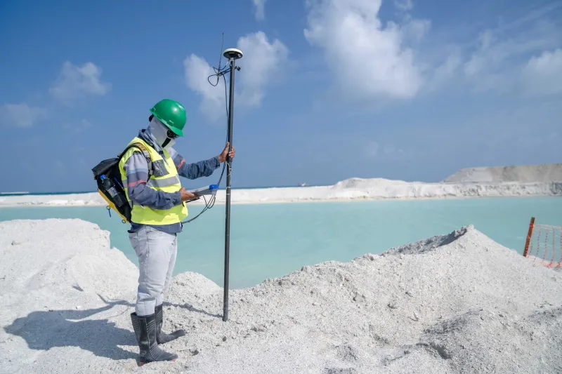
Geospatial technology has rendered this imprecision unnecessary. Insurers and their data partners now routinely integrate a range of spatially precise inputs: LiDAR-derived digital elevation models accurate to within centimetres, GPS-referenced cadastral boundaries, satellite-derived vegetation density indices, and historical flood extent layers calibrated against gauge network data. When combined with address geocoding at sub-metre accuracy, these datasets allow underwriters to characterise the specific hazard profile of a property rather than its postcode neighbourhood.
Several of Australia's major insurers have already moved substantially in this direction. Risk assessment platforms used in the domestic market can now generate property-level flood depth estimates, calculate proximity to fire ignition zones, and flag geological indicators of ground movement — all before a human underwriter reviews an application.
The Competitive Calculus
For insurers, the commercial logic of granular geospatial pricing is straightforward. If a competitor can accurately identify low-risk properties within a traditionally high-risk postcode and offer them competitive premiums, insurers relying on postcode averages will progressively lose their best risks while retaining the worst. This dynamic, known in actuarial practice as adverse selection, creates strong market pressure to adopt increasingly fine-grained spatial risk tools.
The effect is already visible in segments of the Australian market. Insurers with sophisticated geospatial capabilities are competing aggressively for properties in postcodes that aggregate data once labelled as elevated risk, identifying individual dwellings where topography, construction quality, and vegetation management substantially reduce actual exposure. At the same time, properties that appeared unremarkable under postcode pricing are receiving sharply higher premiums once metre-level hazard data is applied.
This repricing is not uniformly negative for consumers. Homeowners whose properties carry genuinely low risk but were previously grouped with higher-risk neighbours may find their premiums fall. The problem emerges at the other end of the distribution.
The Fairness Fracture
When geospatial precision is applied at scale, it produces a troubling outcome for some Australian property owners: their coordinates become a liability that no amount of personal responsibility can alter. A homeowner on a flood-prone allotment in Lismore, a property edging a fire-prone interface in the Adelaide Hills, or a dwelling above a known subsidence zone in parts of suburban Melbourne did not choose their geological or hydrological circumstances. Yet metre-level pricing assigns them a premium — or in some cases, a coverage refusal — based precisely on those immutable spatial facts.
This dynamic is already generating consumer concern in Australia, particularly in regions affected by recent disaster events. Following the 2022 floods across south-east Queensland and northern New South Wales, significant numbers of affected homeowners reported difficulty obtaining affordable cover upon renewal. Insurers, equipped with updated flood mapping, had revised risk classifications for thousands of individual addresses. The postcode that once averaged out the risk was no longer the operative unit — the specific coordinate was.
Consumer advocacy groups have raised concerns about transparency. When a premium increase is attributed to an opaque geospatial risk score generated by a third-party platform, policyholders frequently lack the information needed to understand, contest, or respond to the assessment. Unlike a credit score, which is subject to dispute mechanisms and disclosure obligations, geospatial risk classifications applied to insurance pricing currently operate in a relatively unregulated space in Australia.
Regulatory Attention and Its Limits
The Australian Securities and Investments Commission and the Australian Prudential Regulation Authority have both acknowledged the evolving risk landscape in insurance, and the federal government's cyclone reinsurance pool represents one policy response to the affordability crisis in high-hazard regions. However, regulation specifically governing the use of geospatial data in insurance underwriting remains limited.
The absence of a framework analogous to credit reporting regulation means that insurers are largely free to incorporate geospatial risk scores without disclosing their methodology, the data sources they rely upon, or the specific spatial factors driving a given premium outcome. For consumers, this creates an asymmetry of information that sits uneasily alongside broader expectations of transparency in financial services.
Some industry voices argue that greater precision ultimately serves consumers by ensuring that premiums more accurately reflect genuine risk, reducing cross-subsidisation and improving market sustainability. That argument has merit in a purely actuarial context. It is less persuasive when applied to households with limited capacity to relocate, retrofit, or renegotiate their spatial circumstances.
Towards a Spatial Framework for Insurance Equity
The challenge facing Australian policymakers, insurers, and consumer advocates is not to reverse the geospatial turn in risk assessment — the technical and commercial forces driving it are too strong for that — but to establish a framework within which spatial precision is applied with appropriate accountability.
Several principles merit consideration. First, disclosure: where a geospatial risk assessment materially influences a premium or a coverage decision, the policyholder should have access to the spatial factors involved and the data sources underpinning them. Second, contestability: mechanisms should exist for property owners to challenge assessments that rely on outdated or inaccurate spatial data, a real concern given that flood mapping, vegetation layers, and infrastructure datasets are updated at varying intervals. Third, proportionality in the application of hazard data to ensure that granular precision does not simply become a mechanism for concentrating uninsurable risk among those least able to bear it.
Geospatial science offers genuine value to the insurance sector and, by extension, to the broader project of building climate resilience across Australian communities. The question is whether the industry's adoption of that science will be governed in ways that distribute its benefits equitably, or whether metre-level accuracy will simply produce a new and more precisely defined geography of exclusion.