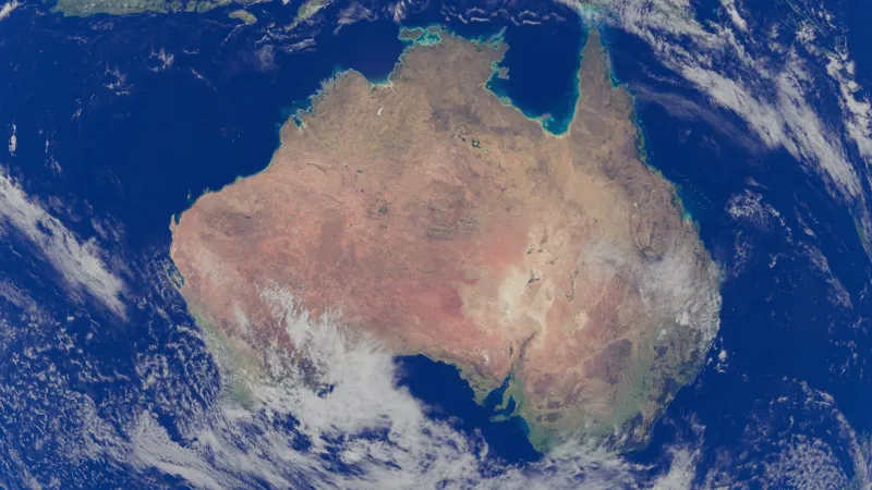
When Coordinates Contradict Deeds: GPS Precision and the Reopening of Australia's Land Boundary Disputes
For much of Australia's post-colonial history, a boundary was little more than a description — a fence line, a creek bed, a rough bearing taken with a magnetic compass on a sweltering afternoon in the 1880s. These descriptions became legal instruments, entered into title deeds and land registers, and were treated as settled fact for generations. Now, with positioning technology capable of resolving location to within two centimetres, that settled fact is being unsettled.
Across Australia, surveyors, legal practitioners, and land administrators are grappling with an uncomfortable truth: the land records that underpin billions of dollars in property value were, in many cases, produced with instruments and methods that introduced errors measured not in millimetres but in metres — sometimes tens of metres. When modern GPS survey equipment is applied to these same parcels, the discrepancies surface quickly, and with them, disputes that many assumed were long resolved.
The Measurement Gap Between Then and Now
Colonial-era land survey in Australia was constrained by the technology of its time. Theodolites, chains, and magnetic compasses were the instruments of the profession, and while skilled surveyors could achieve reasonable precision for the era, the cumulative error across large rural holdings or complex urban subdivisions was often substantial. In areas settled during the nineteenth century — much of regional Victoria, New South Wales, and South Australia — the original cadastral framework was established with tolerances that modern practice would consider unacceptable.
The introduction of Real-Time Kinematic (RTK) GPS and, more recently, access to Australia's network of Continuously Operating Reference Stations (CORS) has transformed what is achievable in the field. A licensed surveyor today can fix a boundary corner to a few centimetres with confidence, cross-referenced against a national datum of extraordinary accuracy. The problem is not the new technology. The problem is what happens when it is applied to boundaries that were never defined with that level of precision in the first place.
Land Information Victoria, the NSW Spatial Services division, and their equivalents in other states have all documented instances where re-survey of older cadastral boundaries reveals positional offsets that fall outside acceptable tolerances. In some cases, these offsets are administratively manageable. In others, they place structures, fences, or improvements on the wrong side of a legal boundary — triggering disputes between neighbours, complications for conveyancing, and in some instances, formal litigation.
Native Title and the Precision Problem
The challenge is considerably more complex where native title and Indigenous land rights intersect with modern geospatial survey. The Native Title Act 1993 requires that determinations of native title specify the geographic area to which the determination applies. In practice, this means that boundaries drawn around country that Aboriginal and Torres Strait Islander peoples have maintained a connection to for tens of thousands of years must now be expressed as lines on a coordinate reference system.
This translation from cultural geography to legal geometry is not straightforward. The boundaries of country as understood within traditional frameworks are often relational rather than linear — defined by landforms, seasonal conditions, kinship responsibilities, and spiritual relationships rather than by fixed lines on a datum. When legal processes require those understandings to be rendered as precise GPS coordinates, there is an inherent risk that the resulting boundary fails to capture the full scope of the claim, or inadvertently excludes areas of significance.
Conversely, the precision of modern GPS has in some instances strengthened native title claims by enabling applicants to document the geographic extent of their connection to country with a rigour that earlier survey methods could not provide. Remote sensing data, GPS-referenced site surveys, and geospatial analysis of land use patterns have all been admitted as evidence in Federal Court proceedings, demonstrating that spatial technology is not inherently adversarial to Indigenous land interests — though its application requires careful, culturally informed practice.
Rural Property Lines and the Neighbour Dispute
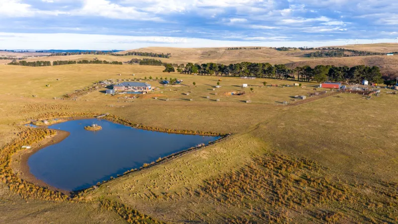
At a more immediately practical level, the proliferation of affordable GPS survey equipment has brought boundary precision to a class of dispute that was once the exclusive domain of licensed surveyors and solicitors: the neighbour boundary disagreement. In rural Australia, where property parcels can extend across thousands of hectares and fence lines have drifted over decades of maintenance and replacement, the question of where one holding ends and another begins can carry significant financial consequence.
A farmer in the Riverina who has cultivated what they believe to be their land for thirty years may find, upon a GPS re-survey commissioned during a sale or subdivision, that a fence line has migrated several metres from the original survey peg. In flat, featureless agricultural country, even a modest positional error translates to a meaningful area of land. Multiply that across a lengthy boundary shared between two large properties, and the disputed area can run to hectares.
State land registries have developed protocols for managing these situations, and the Surveyors Act legislation in each jurisdiction provides a framework for resolving boundary discrepancies through the re-establishment survey process. However, the process is not always straightforward, and where longstanding occupation of land that technically belongs to an adjoining title has occurred, the legal doctrine of adverse possession may become relevant — adding further complexity to what began as a technical measurement question.
The Role of Geospatial Institutions
Monash University's geospatial research community has engaged with these questions at both a technical and policy level. The intersection of high-precision positioning with cadastral law raises fundamental questions about how land information systems should be designed, maintained, and updated as measurement technology continues to improve. A cadastral system built for the tolerances of nineteenth-century survey cannot simply absorb the precision of twenty-first century GPS without structural adjustment.
Geospatial researchers have argued for a shift toward what is sometimes described as a "fit for purpose" cadastre — one that is explicit about the precision with which boundaries are defined, and that provides mechanisms for progressive improvement as resurvey occurs. Under such a model, boundaries would carry metadata describing their positional uncertainty, allowing users of the system — conveyancers, planners, developers, and the courts — to understand the confidence level associated with any given line on the cadastral map.
Several Australian states have moved in this direction, with digital cadastral databases increasingly incorporating precision indicators and linkage to the national geodetic datum. However, the pace of reform has been uneven, and in some jurisdictions the gap between cadastral data quality and the expectations created by widely available GPS technology remains significant.
Precision as Provocation
There is a broader lesson in this convergence of old records and new technology. The assumption that boundaries, once drawn, are settled is an assumption that the land itself has never shared. Coastlines shift, rivers migrate, survey pegs are lost or moved, and the instruments of measurement improve. What GPS precision has done is accelerate the rate at which these accumulated uncertainties become visible — and therefore contestable.
For legal systems, land administrators, and communities across Australia, the challenge is not to resist that visibility but to develop the institutional capacity to respond to it thoughtfully. Where historical injustice underlies a boundary dispute — as is often the case when native title or pastoral lease boundaries are at issue — precision measurement alone cannot resolve the conflict. It can, however, provide a shared factual foundation from which genuine negotiation becomes possible.
The coordinates do not lie. But they do not tell the whole story either. Understanding what they reveal, and what they cannot, is the work that geospatial science and the communities it serves must undertake together.