Shared Skies, Separate Secrets: Navigating Australia's Dual-Use Positioning Dilemma

Positioning infrastructure is not neutral. Every correction service, every ground reference station, every timing signal carries with it a question of access: who receives it, under what conditions, and what happens when those conditions change. For most of Australia's civilian GPS users—farmers, surveyors, logistics operators—this question has been invisible, answered by default in favour of openness. For Australia's defence establishment, the same question has always been answered with considerable more deliberation.
The two worlds are now converging, and the negotiation underway—technical, institutional, and geopolitical—will shape the resilience of some of Australia's most critical infrastructure for decades.
The Architecture of Separation
To understand the current moment, it helps to understand how separation was maintained. The United States Global Positioning System was designed from the outset with dual-use in mind. The Precise Positioning Service, available to authorised military users, offered accuracy and anti-spoofing capability unavailable to civilian receivers operating on the Standard Positioning Service. Selective Availability—the deliberate degradation of civilian signals—was the most visible expression of this hierarchy before its deactivation in 2000.
Australia, as a close defence partner of the United States, has long had access to military-grade GPS capability through bilateral arrangements. The Australian Defence Force operates positioning infrastructure that is both more accurate and more resilient than what is available to the civilian market. This infrastructure is hardened against jamming and spoofing, operates across redundant networks, and is not dependent on commercial correction services that could be disrupted or withdrawn.
Civilian Australia, meanwhile, has built its positioning ecosystem on open signals augmented by commercial and government correction networks. The Network of CORS—Continuously Operating Reference Stations—operated by Geoscience Australia and complemented by state government and commercial networks, provides the backbone for civilian precision positioning. It is impressive infrastructure, but it was not designed to survive a contested electromagnetic environment.
Why the Boundary Is Moving
Several forces are simultaneously pressing against the traditional separation.
The first is the expanding definition of critical infrastructure. Energy grids, telecommunications networks, financial clearing systems, and water utilities all now depend on GPS-derived timing signals for synchronisation. These are not military assets, but their disruption would have consequences comparable to direct infrastructure attack. The question of whether civilian critical infrastructure should have access to more resilient, defence-grade positioning corrections is no longer merely academic.
The second force is the changing threat environment. GPS jamming and spoofing, once primarily concerns for military operations, are now documented in commercial aviation and maritime contexts globally. The war in Ukraine has provided extensive real-world data on the effects of GPS disruption on civilian systems operating near contested zones. While Australia's immediate geographic circumstances differ, the intelligence community's assessment of the threat to civilian positioning has shifted markedly.
The third force is the emergence of new constellations and correction services. The GPS modernisation programme, Europe's Galileo system, and Japan's Quasi-Zenith Satellite System—of particular relevance to Australia given its coverage geometry—are all expanding the pool of available signals. Some of these systems offer encrypted high-accuracy services that blur the traditional civilian-military distinction. Galileo's Public Regulated Service, for instance, is designed for government-authorised civilian use rather than open access.
The Correction Services Question
At the operational heart of the debate lies the question of correction services. Raw GPS signals, even from modernised constellations, do not deliver the centimetre-level accuracy required for precision agriculture, autonomous systems, or engineering survey. That accuracy comes from correction data—information about atmospheric delays, satellite clock errors, and orbital deviations—broadcast from ground networks or satellites.
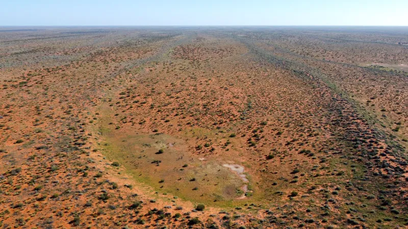
Australia's civilian correction infrastructure is robust in populated areas but thins considerably across the continent's interior. Defence correction infrastructure, by contrast, is designed for operational coverage wherever Australian forces might operate—which, by definition, includes remote and offshore environments.
The proposition that selected civilian applications—disaster response coordination, remote energy infrastructure management, emergency telecommunications—might be granted access to defence-grade corrections under defined protocols is not new. What is new is the institutional seriousness with which it is being examined.
The Australian Strategic Policy Institute has noted in recent assessments that the resilience gap between civilian and military positioning capability represents a national vulnerability. The question is not whether to close that gap but how to do so without creating new vectors for adversarial exploitation of the correction infrastructure itself.
Technical Safeguards and the Interoperability Challenge
The technical community has proposed several approaches to controlled convergence. Tiered access models—where civilian critical infrastructure operators receive enhanced corrections through authenticated, encrypted channels distinct from open civilian services—would preserve operational security while extending resilience benefits. This is not dissimilar to how Australia manages access to other sensitive government data assets.
Interoperability with allied positioning infrastructure adds another layer of complexity. The AUKUS partnership, and Australia's longstanding Five Eyes intelligence relationships, create both opportunities and obligations around positioning data sharing. The United States Space Force's ongoing GPS modernisation, which includes new military signals on the L1 and L2 frequencies, intersects directly with Australian civilian receiver infrastructure.
Geoscience Australia has been a consistent and credible voice in these discussions, maintaining technical relationships with both the civilian geospatial community and defence positioning programmes. The organisation's role as an honest broker—technically fluent in both worlds—is likely to become more important as the convergence proceeds.
What Sectors Stand to Gain
The sectors with the most immediate stake in the outcome are those whose operations combine geographic remoteness with critical function. Remote energy infrastructure—gas processing facilities, transmission lines, solar and wind generation assets in regional Australia—depends on GPS timing and positioning for both operational management and maintenance access. A disrupted or degraded positioning environment imposes real operational cost.
Disaster response is perhaps the most compelling case. Coordination of aerial firefighting, flood response logistics, and search and rescue operations in remote environments all depend on reliable positioning. The 2019–20 fire season exposed significant gaps in the geospatial coordination infrastructure available to emergency managers. Access to more resilient positioning corrections during high-demand events would directly improve response capability.
Telecommunications network synchronisation—often invisible to end users but fundamental to mobile network operation—represents a third domain where positioning resilience has direct public consequence.
A Framework Worth Building
The conversation about dual-use positioning infrastructure in Australia is maturing. What was once a fringe technical discussion is now appearing in defence white papers, critical infrastructure resilience reviews, and national positioning strategy documents.
The outcome that best serves Australia's interests is not a wholesale merger of civilian and defence positioning systems—the security implications of that approach are prohibitive—but a carefully architected framework for defined, auditable, conditional access. The technology to implement such a framework exists. The institutional relationships to negotiate it are in place. What remains is the policy decision to treat positioning resilience as a national infrastructure priority commensurate with its actual importance.
The skies above Australia are already shared. The question is how deliberately, and how wisely, that sharing is managed.